BlueWise Marine’s site identification tool reveals up to 100 GW airborne wind energy potential in Germany.
BlueWise Marine developed an analytical tool to identify suitable operation spaces for airborne wind energy devices. Created as part of the MegaAWE project supported by Interreg North-Western Europe, this tool provides highly granular results, enabling precision in terms of site identification and key influential parameters, such as tether length.
“Companies routinely perform site identification when they are looking for exact locations for their test or commercial sites. However, national-level analysis with a technology-agnostic approach that estimates the potential capacity of an innovative technology is rare. Our new tool provides valuable insights not only for decision-making, which is a fundamental factor, but also for developers whose time and resources are limited. In other words, site identification has the potential to speed up the development of airborne wind energy technology, contributing to the energy transition,” says Ines Coca, Environmental Scientists at BlueWise Marine.
Read the Site Identification Analysis for AWE Devices. A case study in Germany report.
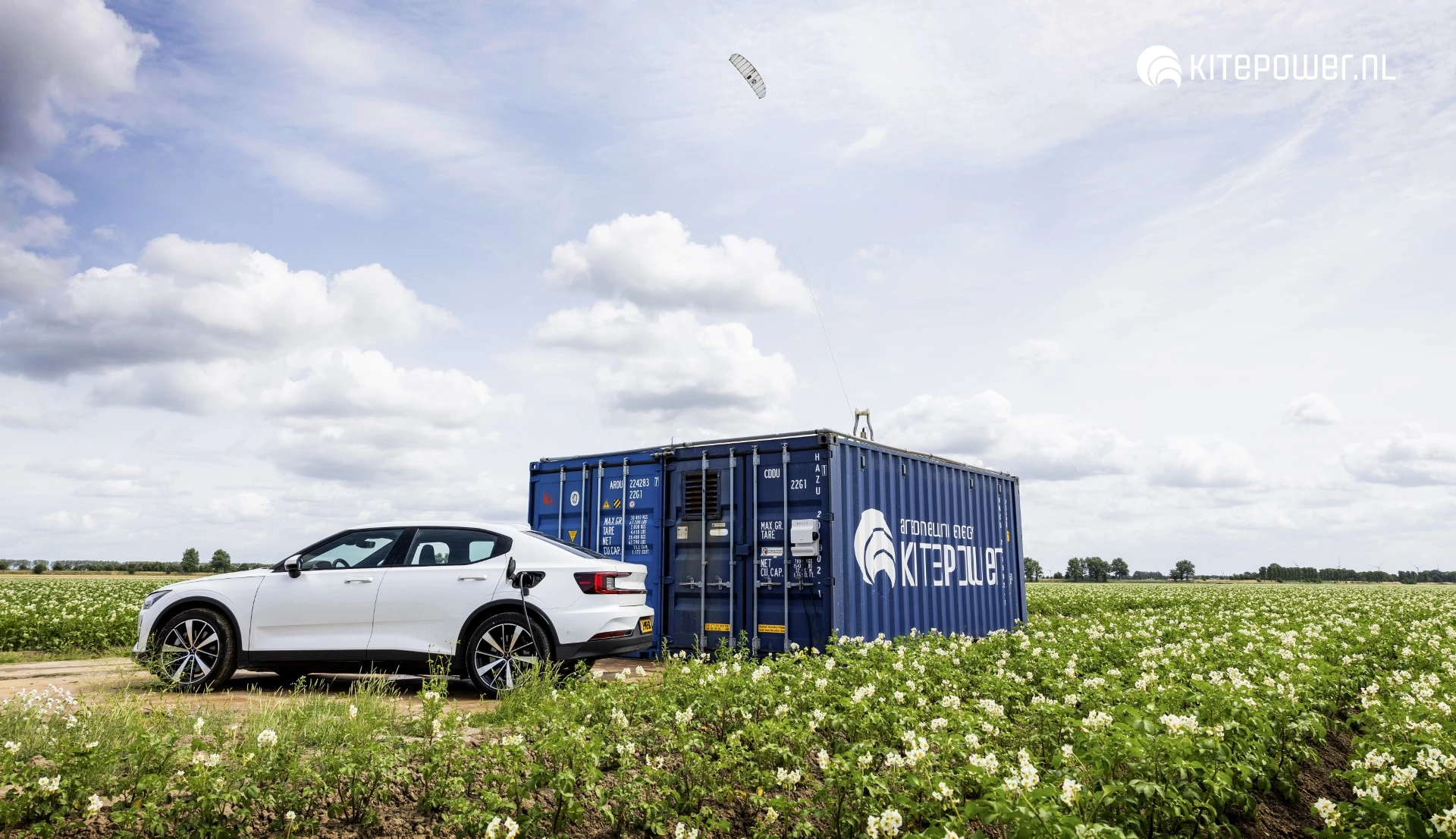
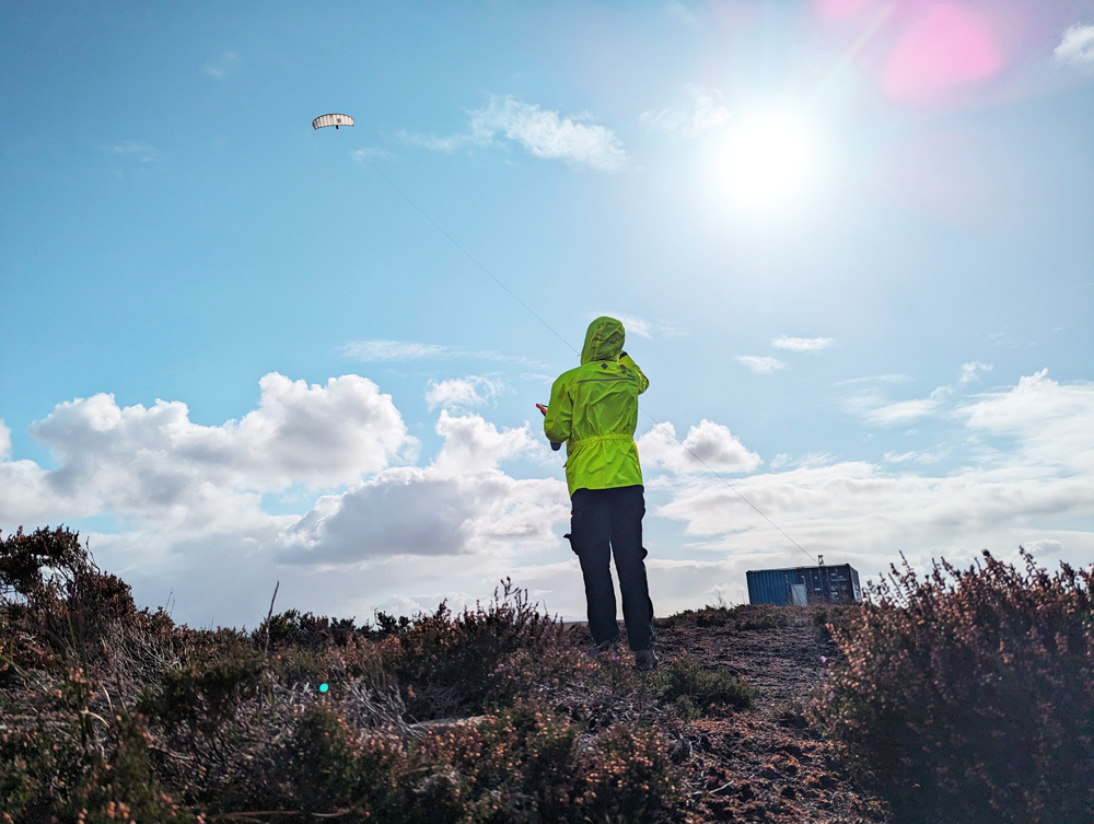
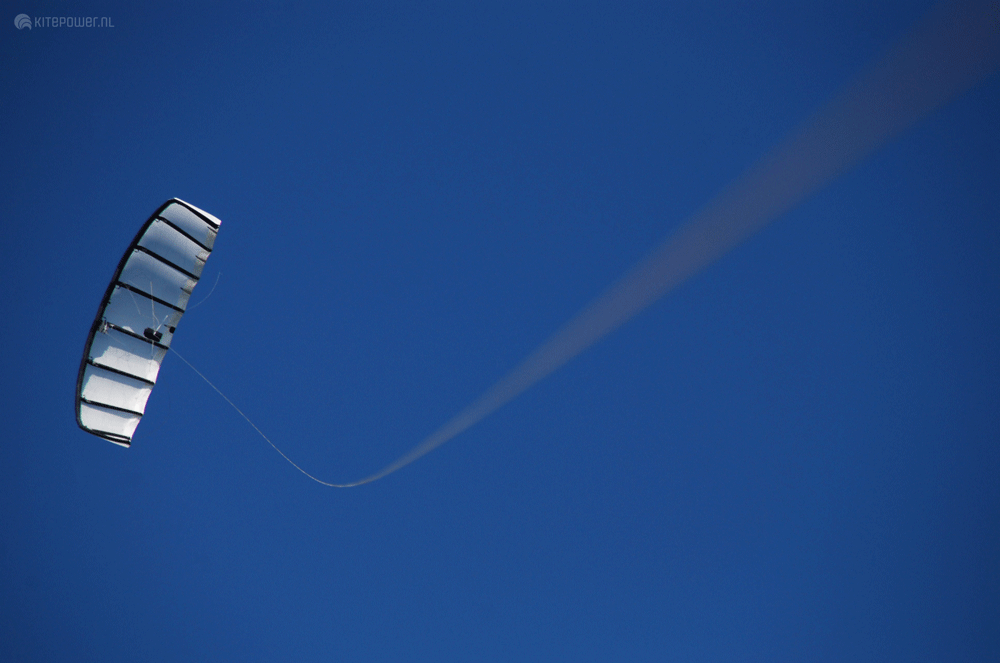
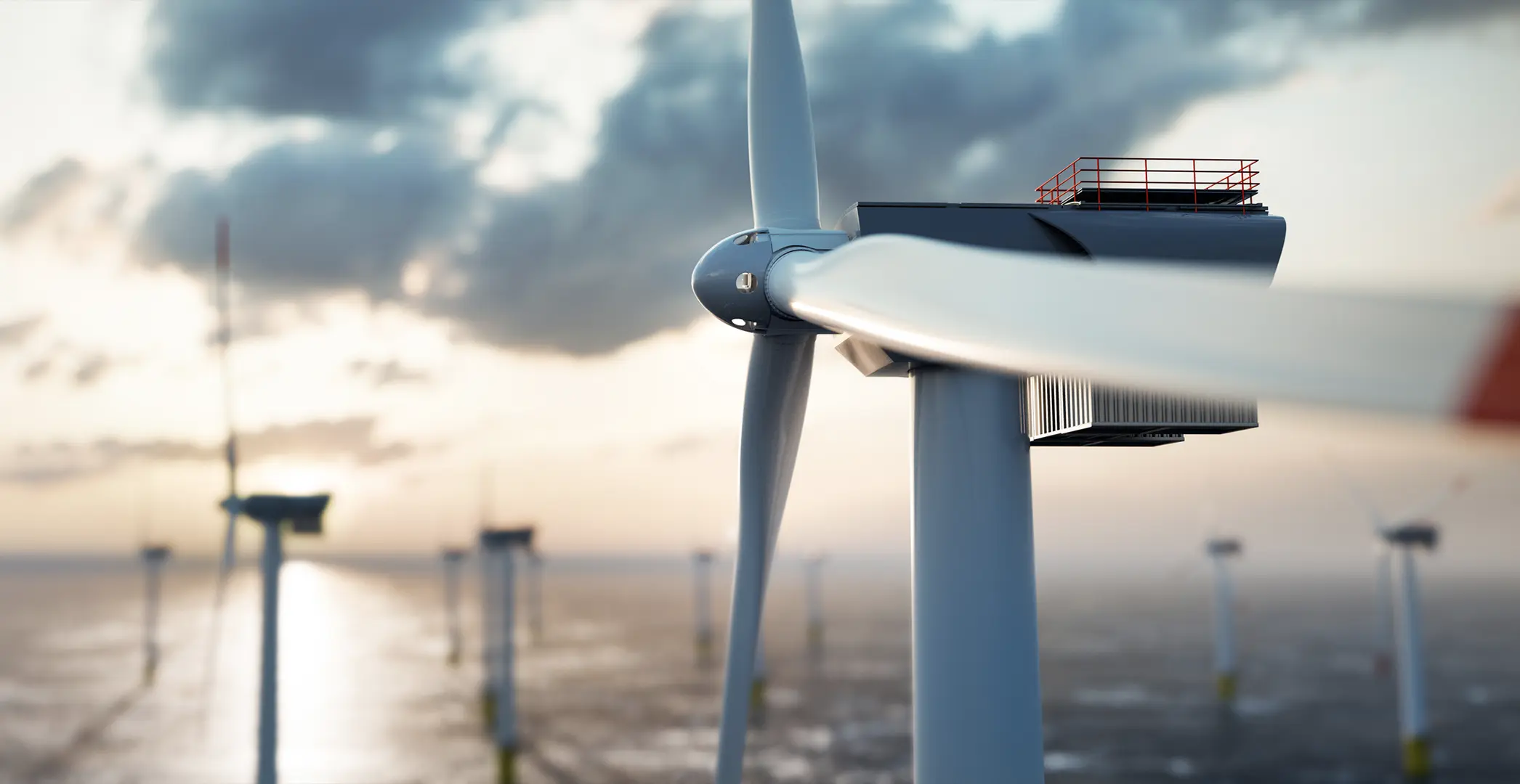
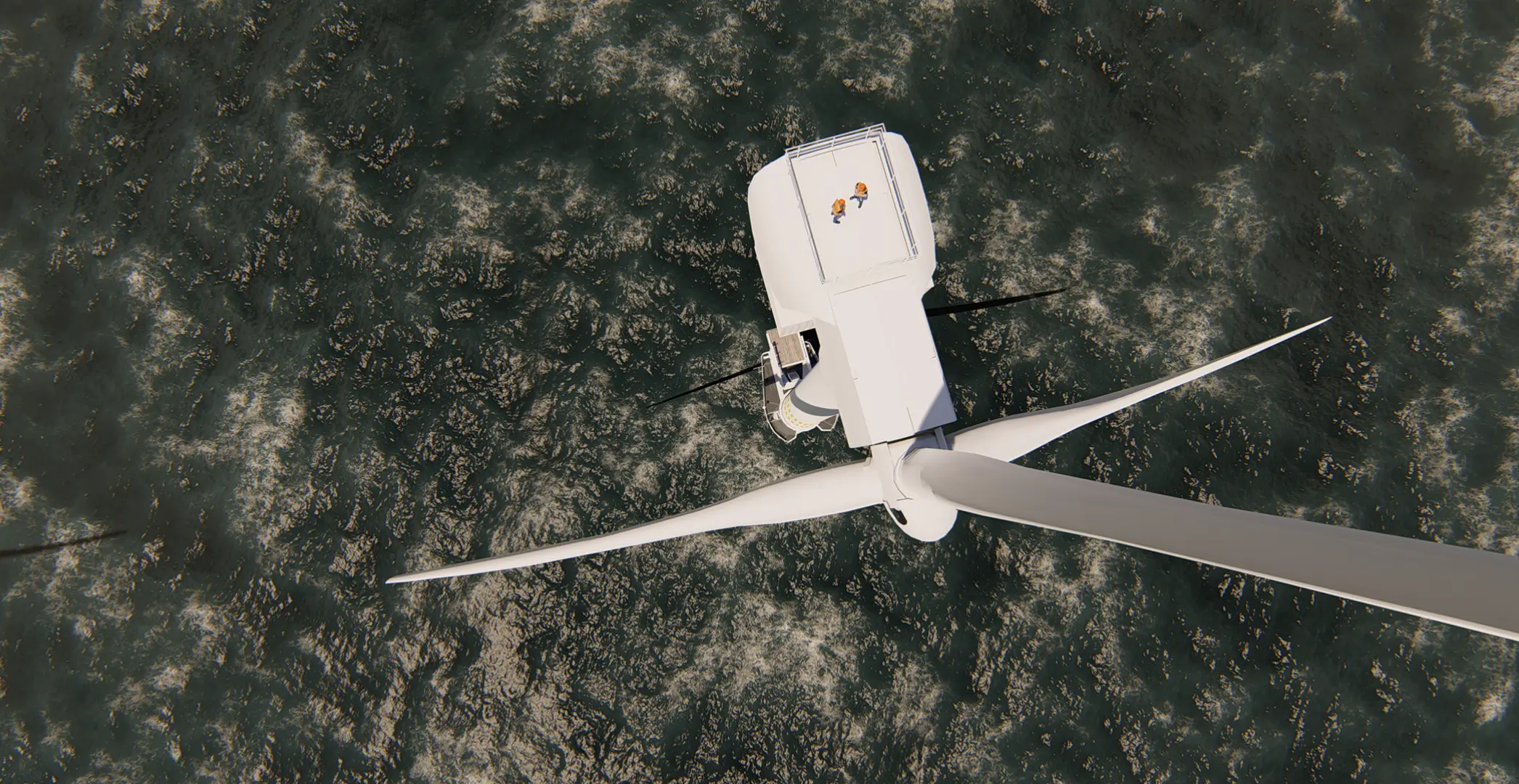
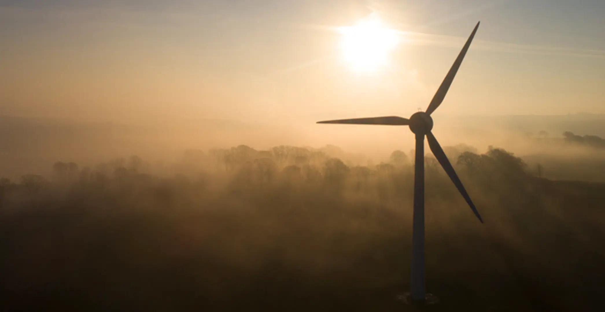
Airborne wind energy systems (AWES) use kites and gliders to harvest renewable power from strong and steady high-altitude winds, offering a complimentary technology for achieving Global Net Zero emission targets.
Essentially, airborne wind energy devices operate as flying objects, like drones. That is why these energy systems require careful site identification to ensure safe and efficient operation. Identifying suitable sites enables more accurate estimates for energy generation capacity, providing valuable insights for assessing the economic viability of airborne wind energy.
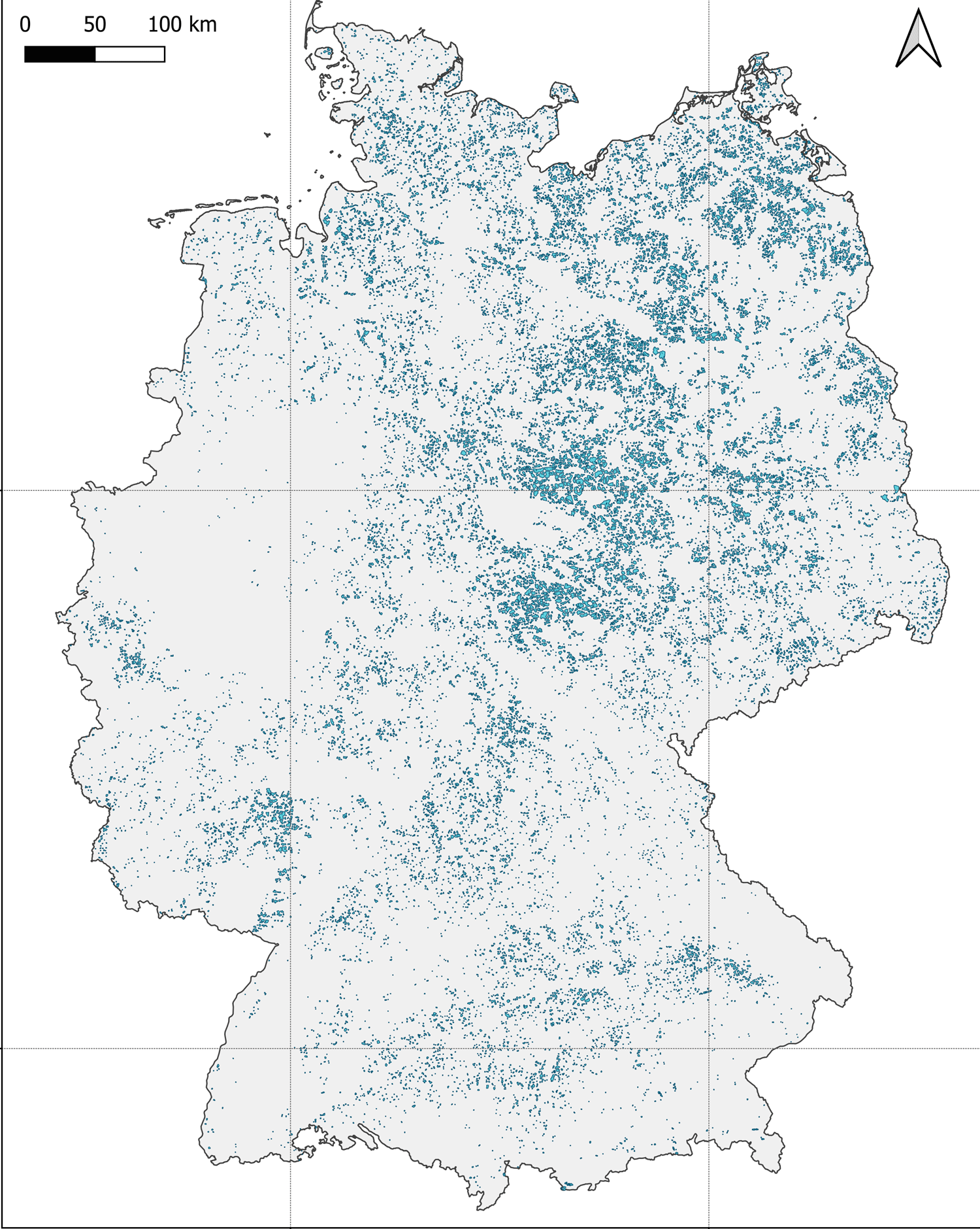
BlueWise Marine established parameters that would ensure safe and efficient operation for AWE devices and applied these parameters to Germany’s land area. After analysing multiple scenarios, the team found that results were most sensitive to the length of the operational radius of each device. An operational radius of 425m could potentially enable AWE deployment over 33,000 km² of Germany’s available land area with a capacity of 14-108 GW, depending on the individual device capacity.
Additionally, the site identification analysis also showed that airborne wind energy would complement conventional wind turbines. Although more analysis is required for a conclusive evaluation, the initial screening showed that 90% of the base case operational area is exclusively suitable for AWE.
Why do we need site identification?
Site identification analysis focuses on understanding the fundamental characteristics of feasible locations, providing a broad overview of factors like geographical features, technical capacity, and regulatory considerations. It helps identify regions with the highest energy generation capacity, minimise risks and maximise the feasibility and economic viability of AWE technologies. These preliminary insights lay the foundations for effective decision making.
Governments, regulatory bodies, and energy stakeholders can use this information to establish renewable energy goals and implement supportive policies to accelerate the adoption of airborne wind energy systems. Moreover, by identifying areas with high capacity, developers and investors can focus their efforts on locations that offer the greatest potential for energy generation.
How does it work?
BlueWise Marine created a multi-layer QGIS model using publicly available datasets, demonstrating safe operational spaces for airborne wind energy in Germany. This tool, applicable to any location, considers 12 parameters, ensuring technology-agnostic results. The parameters were selected through consultation with industry developers.
The tool ensures there is no overlap with water bodies, forests, slopes, settlements, railways and roads, high-level structures, air traffic, protected and military areas, and existing wind energy parks (12 different parameters). The model also includes considerations for different risk buffers around some of the parameters, different operational areas and separation distance to forests.
What do the results say?
After these parameters were established and applied to the map of Germany, BlueWise Marine’s team ran several application scenarios, taking devices with an operational area of 850 m as a base case scenario. The model was also tested with operational areas of 425m, 650m, and 1050m, operational area directly correlates with tether length.
The assumptions for individual device capacity were set to 200KW and 1.5 MW. The former represents a conservative estimate and the current capacity of some of the existing AWE devices, while the latter reflects the capacity airborne wind energy devices are expected to have when the technology reaches its full potential.
Of all the scenarios analysed, reducing the operational area to 425 m showed the highest capacity potential, resulting in a total land area of 33,000 km2 potentially suitable for AWE deployment of between 14-108 GW, depending on the capacity of the individual devices.
Overall, the analysis carried out during this process provides results with a high level of detail in terms of the identified sites, while underscoring that the length of the tether is the main factor impacting the availability of sites. For instance, the capacity estimates with the base case scenario amounts to only 13 GW potential.
What are the limitations?
While the site identification tool incorporates careful considerations for risks and hazards, challenges persist in terms of data availability, highlighting the crucial need for up-to-date data with appropriate resolution to ensure accurate results.
The level of detail in which input data is represented significantly influences the analysis outcomes, emphasising the importance of high-resolution datasets to capture nuances accurately. Inadequate resolution may lead to oversimplification and inaccurate conclusions about ground station deployment.
To acquire a better understanding of deployment limitations and opportunities, it is essential to address data gaps in airspace-restricted areas and grid availability. Exploring colocation possibilities with PV plants and incorporating population density data would also enhance future analysis and decision making.
Can it be customised?
The implementation of airborne wind energy technology at large scale will most likely involve co-locating multiple devices and integration with other renewable energy options. There are also several various airborne wind technology concepts under development. Each developer or organization may have unique preferences, priorities, or constraints that influence site selection.
Moreover, incorporating a comprehensive wind profile analysis is crucial to improve the accuracy and applicability of the results. By considering detailed wind profiles, including factors such as wind direction, speed, and turbulence, the analysis can provide more precise estimations of energy generation potential.
Implementing airborne wind energy systems deployments would require tailored assessments based on project objectives. Next steps to enhance the tool would involve further automation of the process and a highly customisable site identification framework that allows for adaptation to individual developer needs. Additionally, including wind profile analysis and layout algorithms specific to AWE needs would improve the capacity estimates.
In conclusion, site identification plays a crucial role in deploying airborne wind energy systems. The BlueWise site identification tool integrates various geographic, technological, socioeconomic, environmental, and political constraints, enabling informed decisions for the sustainable rollout of airborne wind energy technology.
Read the Site Identification Analysis for AWE Devices. A case study in Germany report.
This research was conducted as part of the MegaAWE Project with support from the Interreg North-West Europe (NWE) Programme and in partnership with Airborne Wind Europe.